Maps of Florida Home > Florida Map Collection > Naples Map
Inner City Map of Naples
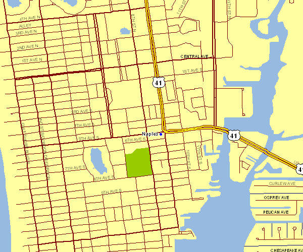
This map is a classic sketch exhibiting the spatial relationships of this area with a plain assortment of details.
You are allowed to use this map and use it in your work. Giving credit to this webpage is always appreciated. Thank you kindly.
On the assumption that you are hoping for help acquiring a map, a different kind of map, or are hoping for a good personalized map, please email us.
Order high quality customized maps from us. A custom map made by us cover a good combination of map elements, like: backroads, scale bar, UTM coordinates, air navigation features, miscellaneous features, low vegetation, hydraulic construction, or river features, etc. Map types vary from topo to city, printable to printed, regional to school districts.
Good maps are exact, clear-cut, and not deceptive. First-Rate cartography by YellowMaps.
To purchase printed maps or charts, like recreation atlases, folded maps, or topo maps, simply browse our online map shop We have a collection of more than 100,000 map items.
Please ask us about volume discounts. We might be able to give you a deal.
Back to Florida map collection